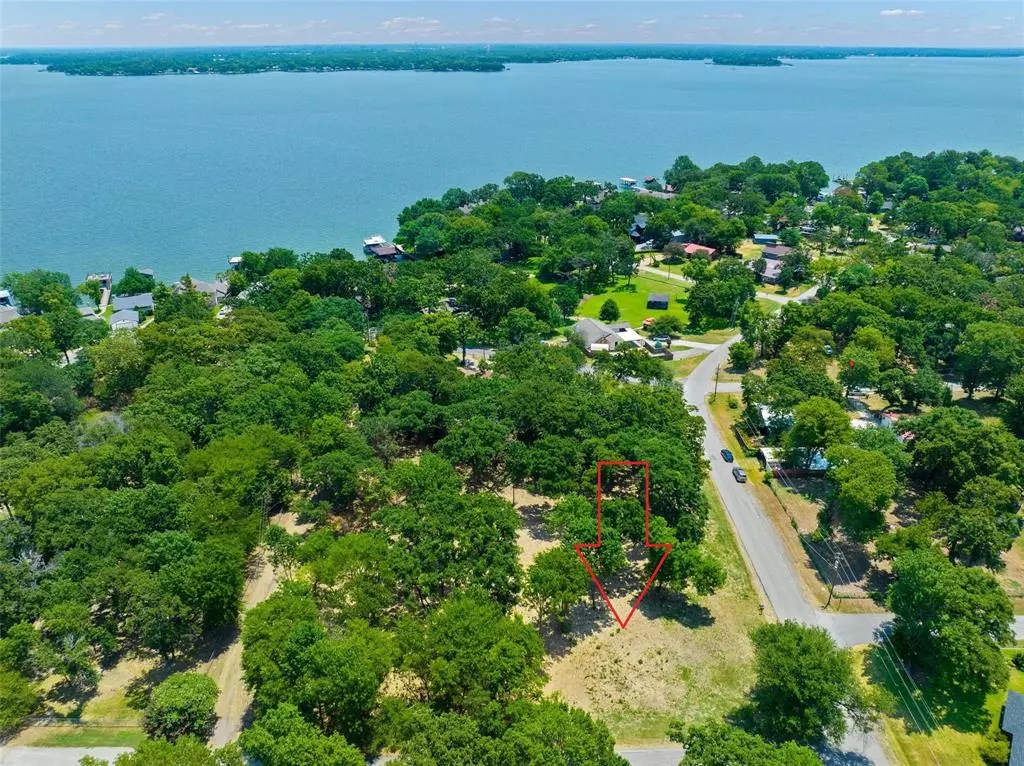
11 Cherokee Trace Tool, TX 75143
8,668 Sqft Lot
UPDATED:
01/10/2024 01:44 PM
Key Details
Property Type Vacant Land
Sub Type Unimproved Land
Listing Status Active
Purchase Type For Sale
Subdivision Port-O-Call
MLS Listing ID 20508676
HOA Y/N None
Annual Tax Amount $354
Lot Size 8,668 Sqft
Acres 0.199
Property Description
Location
State TX
County Henderson
Zoning SFR
Direction Hwy 274S to Kontiki; left to Kalura; left to Owhyne; right to Cherokee Trace; lot on left.
Exterior
Utilities Available All Weather Road, Asphalt, Electricity Available, MUD Sewer, MUD Water
Street Surface Asphalt
Lot Frontage 68.0
Garage No
Building
Lot Description Cleared, Few Trees, Interior Lot, Subdivision, Water/Lake View
Schools
Elementary Schools Tool
Middle Schools Malakoff
High Schools Malakoff
School District Malakoff Isd
Others
Restrictions Building
Ownership See Tax
Acceptable Financing Cash, Conventional
Listing Terms Cash, Conventional
Special Listing Condition Aerial Photo, Survey Available

GET MORE INFORMATION


